How it works Maps and navigation
Offline maps and navigation
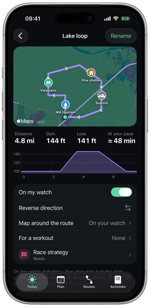
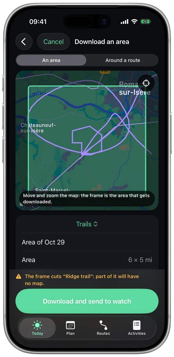
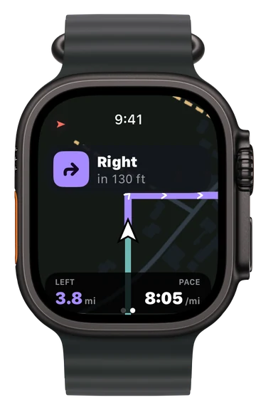
Import a route, download the map of your area to your watch and leave your iPhone at home: turns are announced out loud, and you know right away if you go off route.
1 voice-guided route for freeMaps, unlimited routes and Strava with Pro
No iPhonethe map and navigation are on your watch
40 m(130 ft) away for 10 s and you're off route
2 stylesStreets and Trails
What Stamio uses
- Your route: a GPX, TCX or FIT file, opened from Files or shared to Stamio, or a route from your Strava account.
- Your GPS position, measured by your watch.
- OpenStreetMap maps, which Stamio hosts and draws for your watch.
What leaves your phone
- Only the map tiles requested, for the area you download. Your routes stay on your iPhone and your watch.
- With Strava, Stamio only reads your routes, never your activities, and never writes anything there.
- Outside your downloaded areas, Apple's map can take over when your watch has a network connection, except in Low power mode.
What can throw it off
- Obstructed GPS (dense downtown, thick forest, tunnel): your position can jump, and an announcement can come a little late.
- A rough or hand-drawn track: the turns will be approximate.
- A map that's incomplete in some places: OpenStreetMap is built by its contributors, and some trails may be missing.
What you can set
- The map style, the areas kept on your watch, the map orientation.
- Sounds: vibrations, beeps or voice.
- Routes "On my watch", and the route linked to a workout in your plan.
- Export a workout as GPX or FIT.
Questions
Do I need a network connection during my run?
No. Once the area is downloaded and the route is on your watch, everything works without your iPhone or a network.
What about during intervals?
Yes. A guided workout can have a route: you follow both the current step and the map.
How much space does an area take?
Each area shows its size, and can be removed from your iPhone and your watch in one gesture.
Further reading
- Maps: © OpenStreetMap contributors, data available under the ODbL license (openstreetmap.org/copyright).
Navigation helps you follow your route. Stay alert to traffic and terrain.